Ground Dominance for the Tactical Edge
Combat-Proven Solutions Accelerating Maneuver
- Independence
- Autonomy
- Assurance
- Connectivity

Nocta
Resilient vision-based positioning for aerial platforms
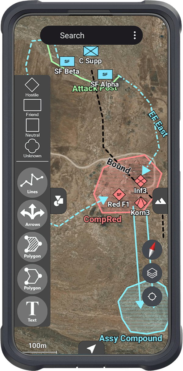
Orion
Tactical Mission Enhancement System
Lynx
Tactical Augmented Reality Monocular
Taurus
Tactical Battle Management Workstation
Taipan
Vision Enhanced Fire Control System (FCS)
GeoFusion™: Empowering the Edges
Transforming geospatial data and real-time imagery into mission-ready intelligence that connects warfighters, sensors, and platforms in real time.
ASIO Insight
September 28, 2026
Customers and Partners
Trusted at the Tactical Edge